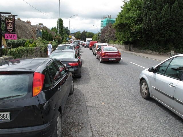


With approximately 120 incidents occurring in a typical month on the M50 – over half during rush hour traffic – Transport Infrastructure Ireland (TII) has launched a new symbol-based system to make diversions easier to follow for motorists.
The new system is designed to guide road users along diversions when an accident takes place on the M50. Motorists can expect to see these new symbols when a lane has to close for a number of hours following an incident, with a different symbol being used to identify each individual diversion.
When a lane of the M50 has been closed, one of the above symbols will be attached to existing road signs, ensuring that they will be visible to motorists. In addition, motorists will also see a sign, similar to the example below, alerting them to a road closure ahead and advising which symbol to follow.
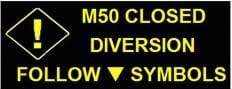
In the above example, road users should follow signs with a triangle symbol attached, while ignoring any other symbols which may be in use to identify other diversions.
Currently these symbols are in use from J4 Ballymun to J5 Finglas, from J5 to J6 Blanchardstown and from J7 Lucan to J9 Red Cow. In the coming months, diversion routes will be identified for the entire M50 from J3 (the M1 merge) to J17 (the M11 merge), except for the stretch from J6 to J7 where no suitable alternative route exists.
Agreement with the relevant Local Authorities is currently being finalised for additional junctions. Signage is being rolled out and will be completed for the critical sections by the end of the year.
Click here to find out more about what to do if you breakdown on a motorway.
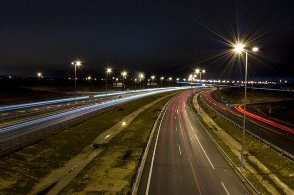
Lead Image of the M50 sourced from Oleg Zaytsev
Driver safety
What do those new symbols on the M50 mean?
You may also like...